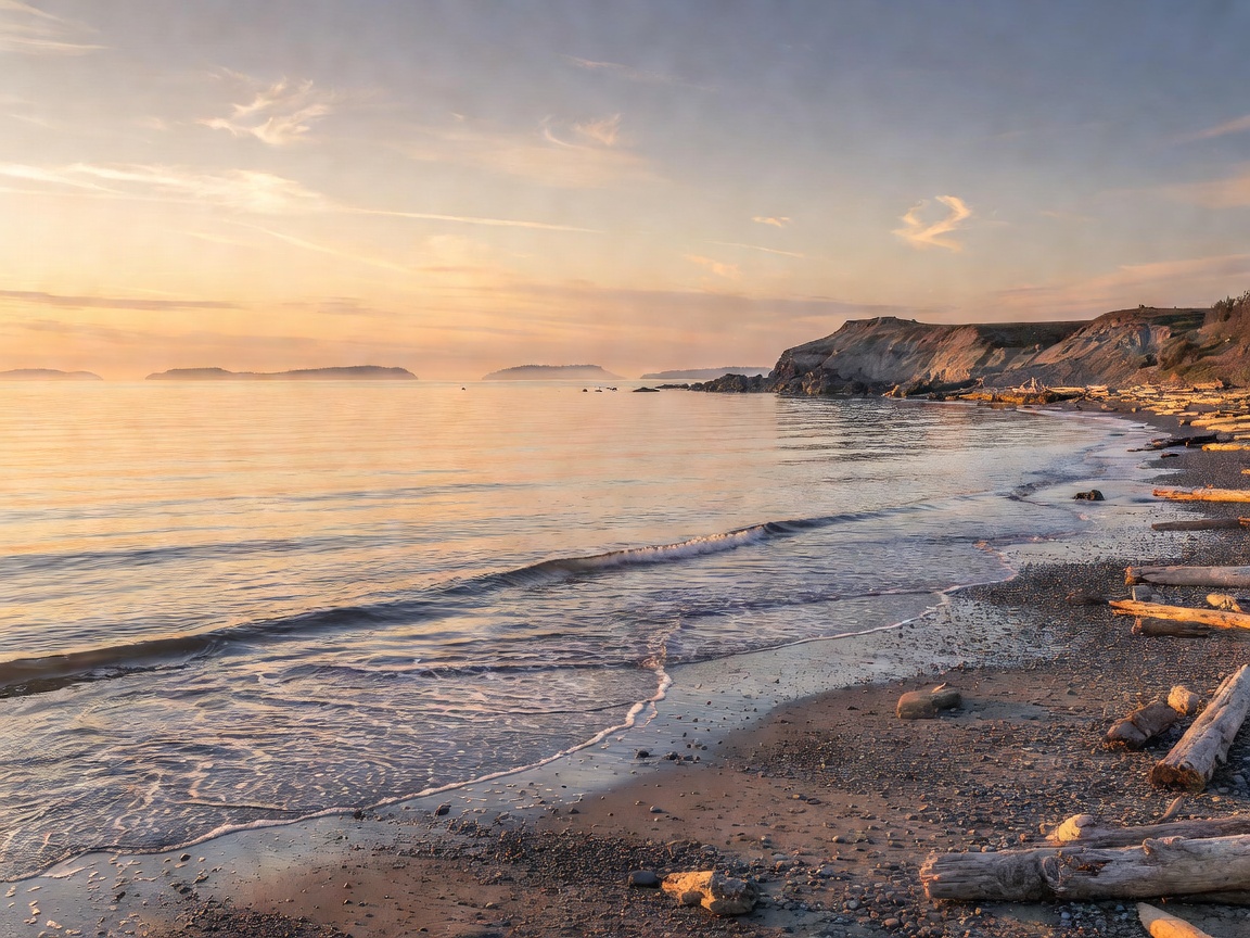
 Pene-Exclave
Point Roberts: The USA Tip Cut Off by British Columbia
American children must clear international customs four times every single school day simply to attend high school in Blaine, Washington.
Read Full DossierWelcome to the digital archive of planetary contradictions. From town borders cutting across dining room tables to islands two miles apart separated by 21 hours, we document the earth’s most counterintuitive geography.
Read complete, exhaustively researched breakdowns on the world's most baffling territorial and navigational absurdities.
Pene-Exclave
American children must clear international customs four times every single school day simply to attend high school in Blaine, Washington.
Read Full Dossier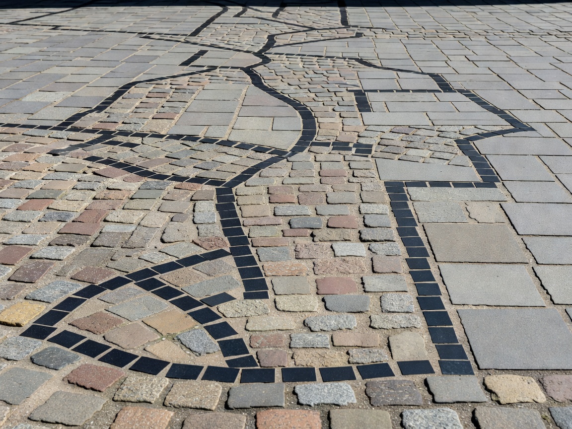 Nested Enclaves
A town so fractured by medieval treaties that international borders bisect living rooms, bakeries, and beer halls down the middle.
Read Full Dossier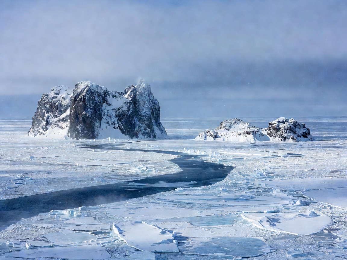 Time Rift
Stand on Little Diomede in Alaska and literally look into tomorrow on Big Diomede across the frozen maritime demarcation line.
Read Full Dossier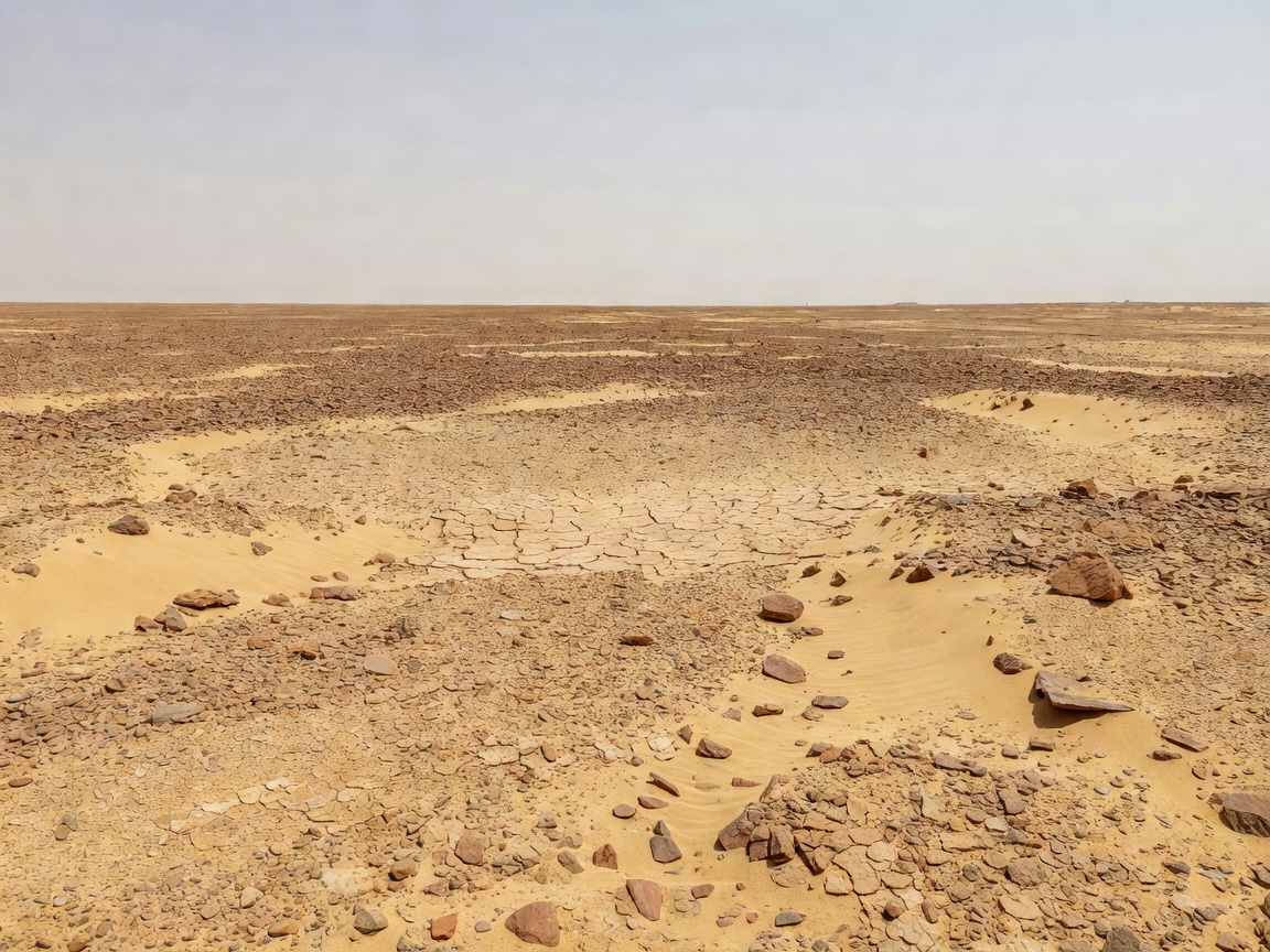 Terra Nullius
A rare chunk of habitable globe completely unclaimed by any recognized nation due to clashing treaties of 1899 and 1902.
Read Full Dossier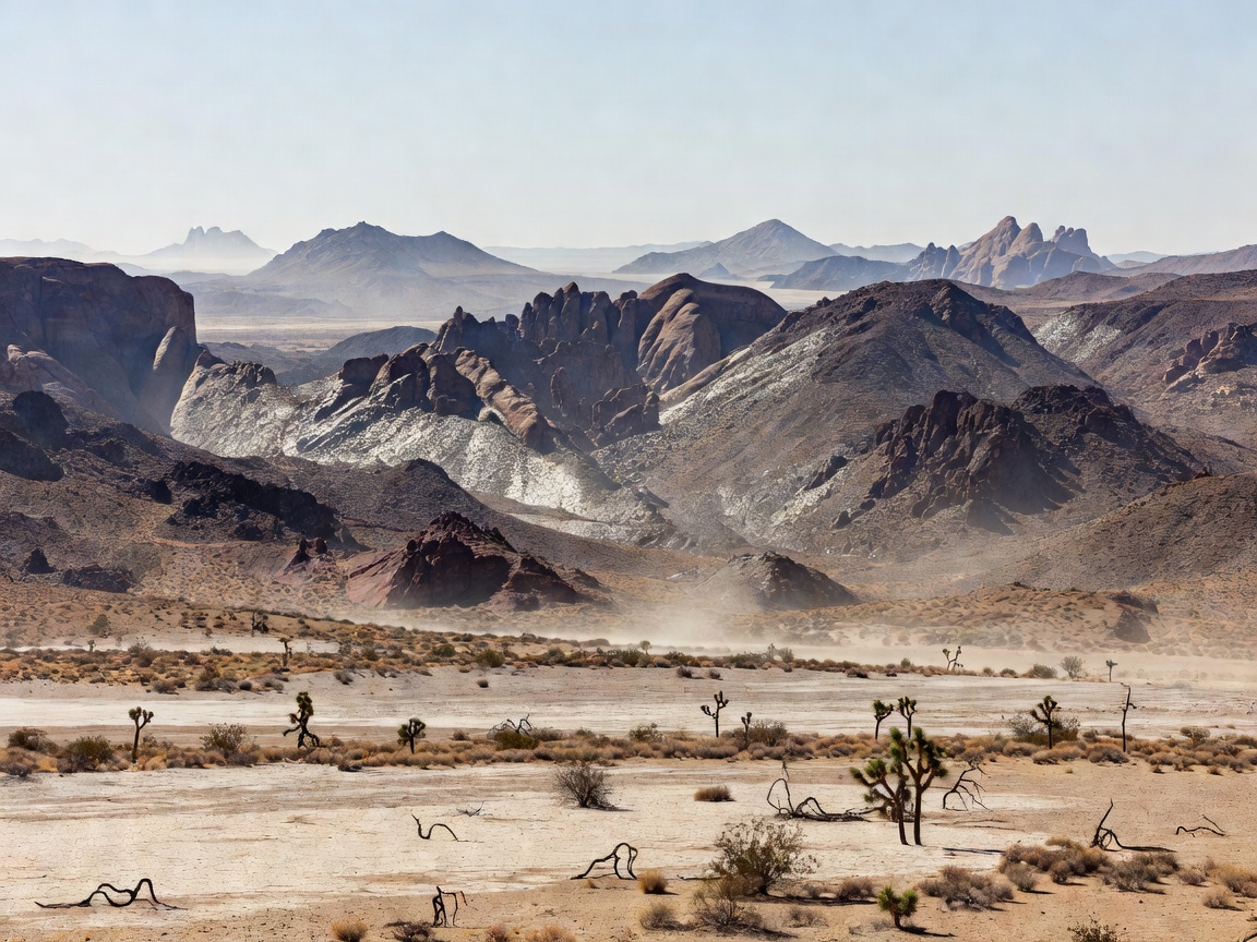 Coordinate Illusions
Because of California’s deep southeast curve, Reno, Nevada sits 86 miles farther west into the Pacific Rim than coastal Los Angeles.
Read Full Dossier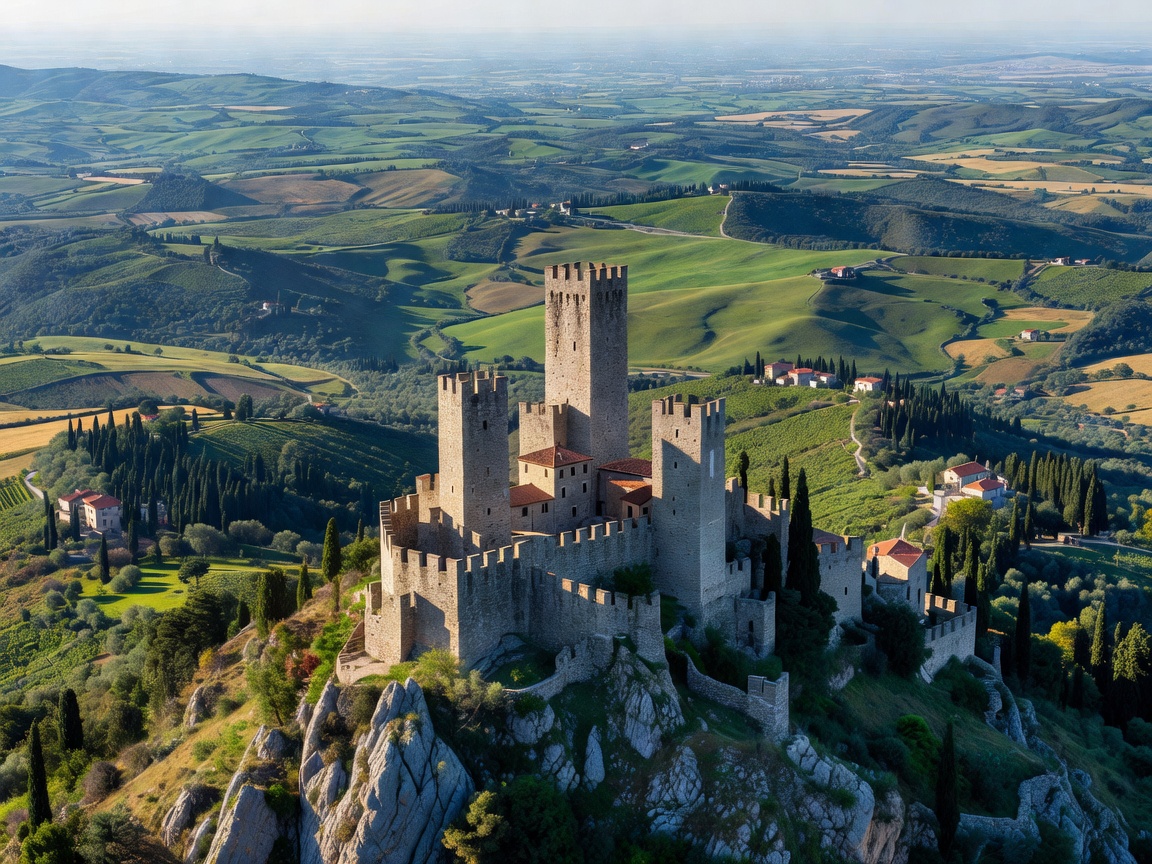 Enclave Nations
Lesotho, San Marino, and Vatican City represent the complete list of sovereign nation-states locked within a single sovereign neighbor.
Read Full Dossier