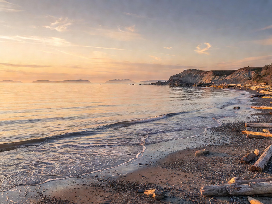
 Pene-Exclave
48°59′05″N 123°04′53″W
Point Roberts, Washington
An American town on the southern tip of the Tsawwassen Peninsula. High school kids cross international customs 4 times daily to attend school.
Read Full DossierFilter, search, and investigate over two dozen verified boundary oddities, enclaves, temporal warps, and navigational illusions from around the globe.
Pene-Exclave
An American town on the southern tip of the Tsawwassen Peninsula. High school kids cross international customs 4 times daily to attend school.
Read Full Dossier Nested Enclaves
22 Belgian exclaves nested inside the Netherlands, containing 7 Dutch counter-enclaves. International borders bisect kitchens, bakeries, and beer halls.
Read Full Dossier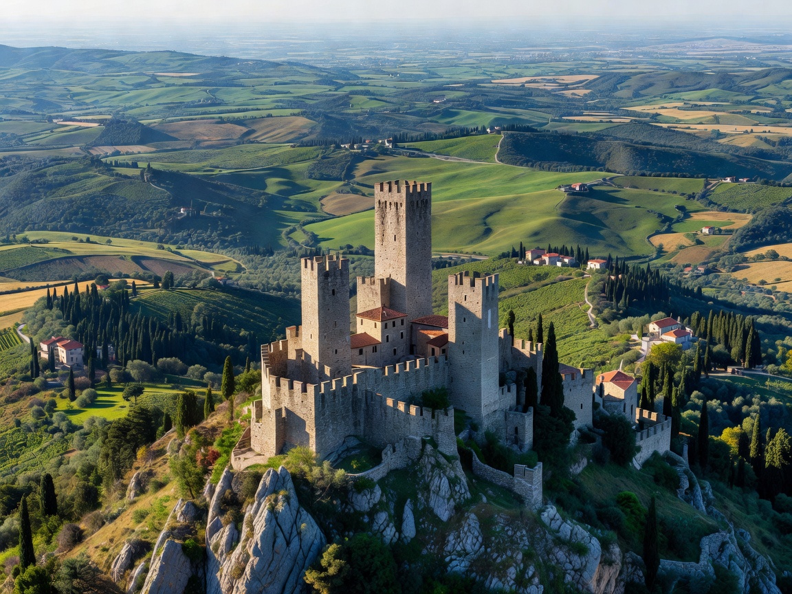 Sovereign Enclaves
Lesotho (within South Africa), and San Marino along with the Holy See (within Italy) stand as the only three independent nations totally enveloped by one neighbor.
Read Full Dossier Exclave Currency Paradox
An Italian municipality situated completely inside the Swiss canton of Ticino on Lake Lugano. Residents use the Swiss Franc, Swiss telecommunications, but pay taxes to Rome.
 Spanish Treaty Glitch
A Spanish town surrounded entirely by French territory in the Pyrenees. Under the 1659 Treaty of the Pyrenees, Spain ceded villages to France, but Llívia held the legal status of a 'town'.
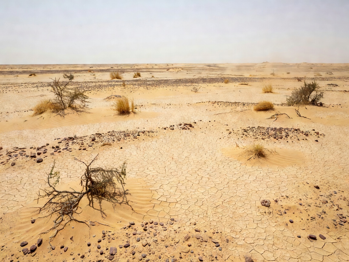 Counter-Enclave Nested
Madha is an Omani enclave inside the UAE. Inside Madha lies Nahwa, an Emirati counter-enclave. Crossing the valley means jumping between Oman, UAE, and Oman again.
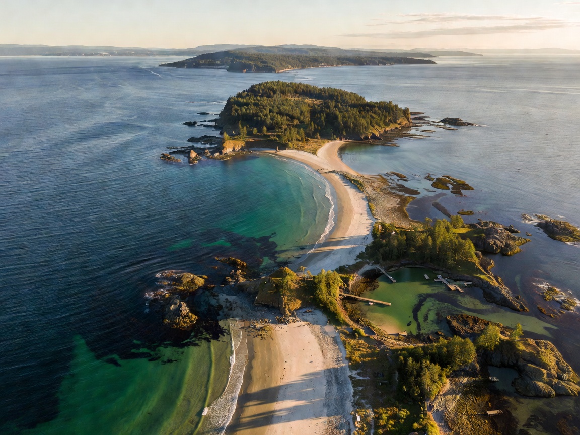 American Pene-Exclave
The only part of the contiguous United States located north of the 49th parallel, caused by an 18th-century cartographer mistakenly assuming the source of the Mississippi River.
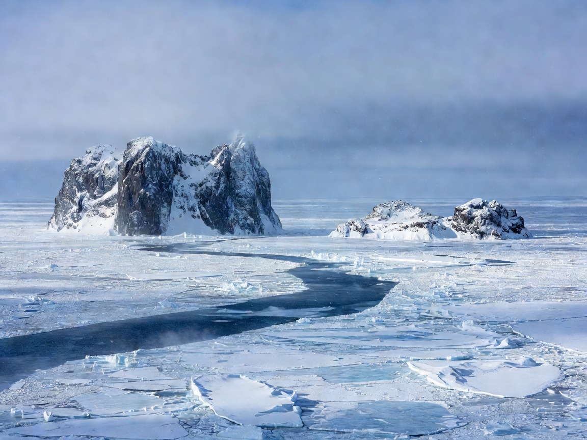 21-Hour Gap
Separated by only 2.4 miles of Bering Strait water, the International Date Line makes Big Diomede (Russia) up to 21 hours ahead of Little Diomede (USA).
Read Full Dossier 5-Zone Single Clock
Despite spanning 5 geographical time zones, all of China observes UTC+8. In western Xinjiang, sunrises occur after 10:00 AM in winter, and summer twilight lasts past midnight.
UTC+14 Date Warp
In 1994, Kiribati bent the International Date Line 3,000 kilometers eastward so its nation would not be split across two separate calendar days simultaneously.
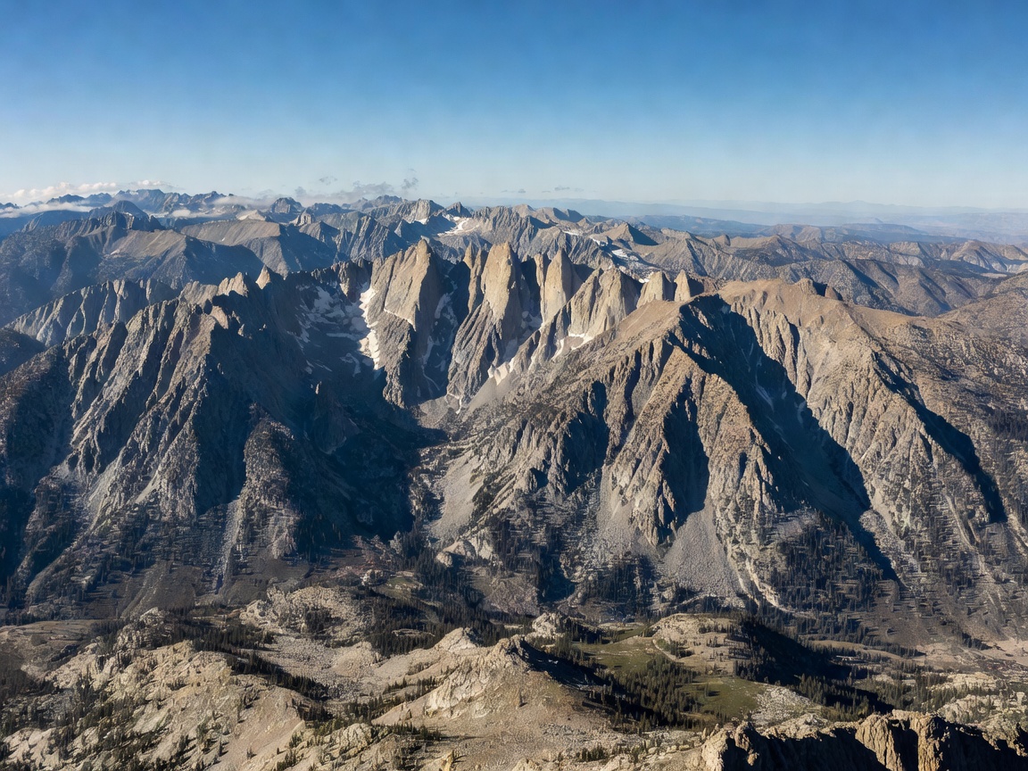 3.5-Hour Land Leap
Stepping across the 47-mile mountain border between Afghanistan (UTC+4:30) and China (UTC+8) represents the largest instantaneous land border time change on Earth.
30-Min DST Shift
The only jurisdiction on Earth that observes a 30-minute shift for Daylight Saving Time, moving from UTC+10:30 in standard winter time to UTC+11:00 in summer.
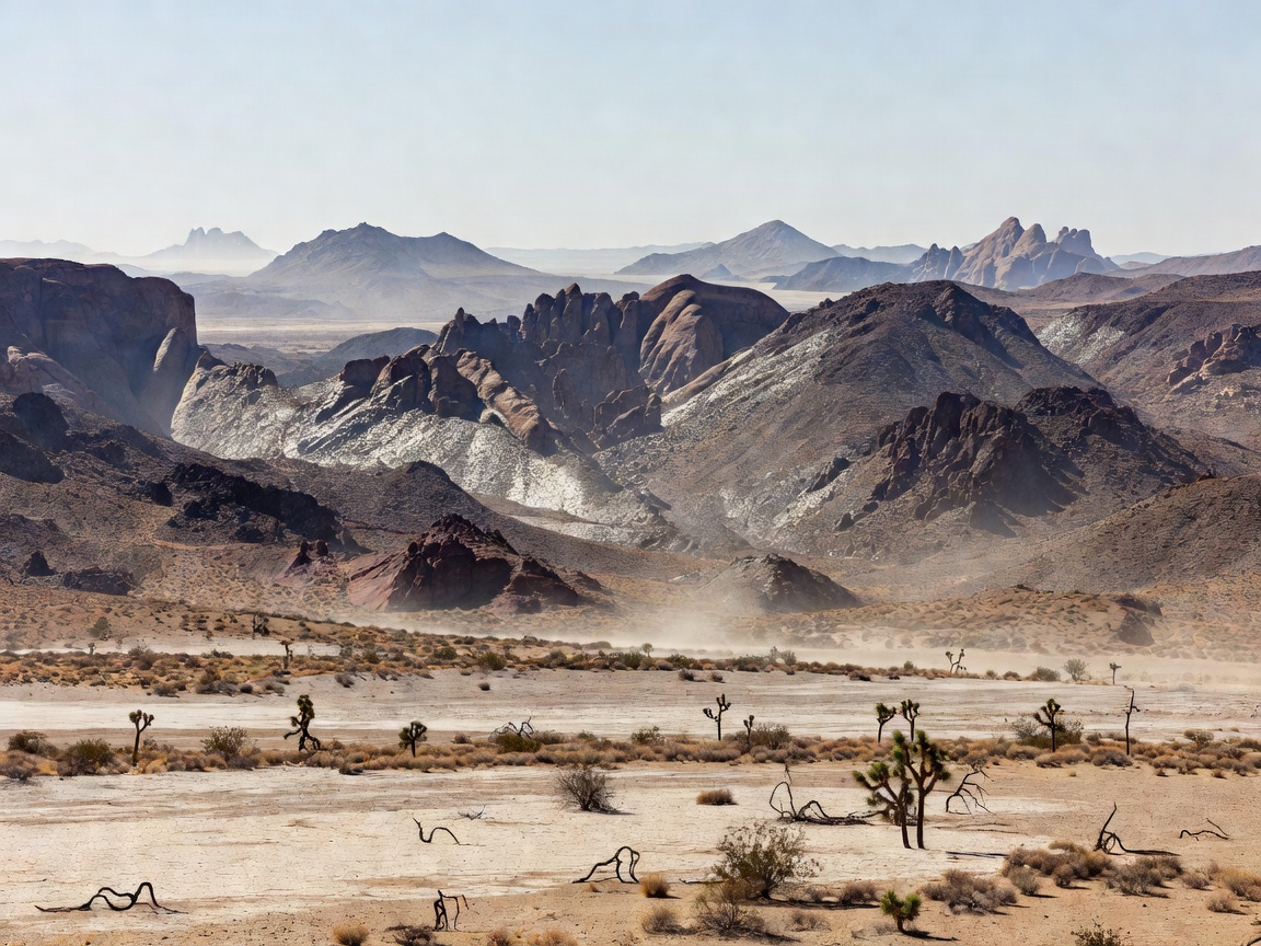 Tri-Time Tripoint
The intersection of New South Wales, Queensland, and South Australia. In summer, the three states operate on three distinct time zones separated by 30-minute intervals.
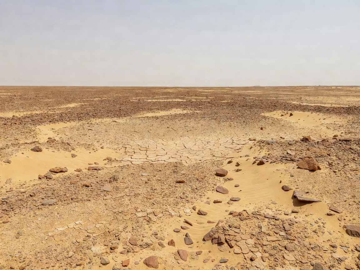 True Terra Nullius
An 800 sq mi territory between Egypt and Sudan. Neither country wants it because claiming it would forfeit legal claim to the valuable coastal Halaib Triangle.
Read Full Dossier
1.6M km² Unclaimed
The largest single piece of unclaimed territory on planet Earth. At 1,610,000 square kilometers, it is larger than Mongolia and claimed by no sovereign nation.
Danube River Pocket
A 7 km² flood plain along the Danube River claimed by neither Croatia nor Serbia due to conflicting interpretations of 19th-century river meanders vs cadastre borders.
Autonomous Monastic State
An autonomous theocratic state inside Greece governed by 20 Eastern Orthodox monasteries. An imperial decree enforced since 1060 strictly prohibits female humans and domestic animals.
Oceanic Dispute
An uninhabitable, wave-swept granite rock in the North Atlantic. Claimed by the UK in 1955, its surrounding continental shelf rights are disputed by Ireland, Iceland, and the Faroe Islands.
Coordinate Glitch
Because California hooks diagonally to the southeast, landlocked Reno sits 86 miles farther west into the Pacific hemisphere than beachfront Los Angeles.
Read Full Dossier
Directional Paradox
Because the Isthmus of Panama curves like a reversed letter 'S', cargo ships leaving the Atlantic to reach the Pacific must sail directly Southeast, exiting 27 miles east of entry.
Southern Canada Crossing
Downtown Detroit, Michigan is the only major American border city where looking directly south across the river gazes into Canada (Windsor, Ontario).
Continental Shift
The entire continent of South America is shifted radically eastward: Pacific-coastal Santiago, Chile sits farther east than Atlantic-coastal New York City.
British Longitude Warp
Due to the dramatic westward tilt of Great Britain's landmass, eastern Scottish capital Edinburgh is located farther west than western English port city Bristol.
Southernmost US Record
The southernmost point of all 50 US states sits at 18.9°N on the Big Island of Hawaii, placing it farther south than Key West, Florida and nearly level with Mexico City.
No recorded geographical paradoxes match your current search query and filter criteria.